FSU Map Catalog
Monday, November 21, 2011
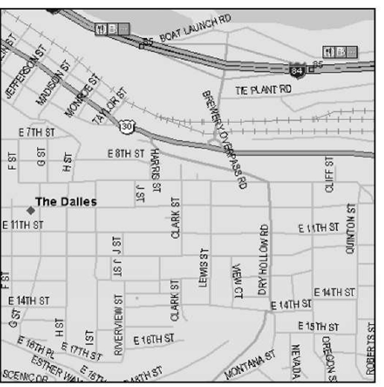
#1 - Planimetric Map
Shown below is a Planimetric Map of The Falles, Oregon. As you can see, the map details highway and road names, but leaves out most information about the physical terrain.
http://www.google.com/imgres?q=planimetric+map&hl=en&gbv=2&tbm=isch&tbnid=9y-IBbvhmRNc2M:&imgrefurl=http://what-when-how.com/gps/discovering-the-types-of-maps-gps/&docid=SOKk8AuZE0v1wM&imgurl=http://what-when-how.com/wp-content/uploads/2011/10/tmp166_thumb.jpg&w=761&h=768&ei=8fjKTpydFMziggf7kICoDQ&zoom=1&iact=hc&vpx=506&vpy=252&dur=359&hovh=226&hovw=223&tx=88&ty=126&sig=111308018509790290299&page=7&tbnh=119&tbnw=118&start=110&ndsp=18&ved=1t:429,r:3,s:110&biw=1024&bih=599
No comments:
Post a Comment
Newer Post
Home
Subscribe to:
Post Comments (Atom)
No comments:
Post a Comment